| Home | Hike In | South Fork | Dutch Oven | Washakie | Hike Out |
![]()
Friday: Second cousin John Hooker traveled by plane from O'Fallon, MO. Tim Lohrmann drove from Warrenton, MO (just up the road from Dutzow). After sorting through our gear, we did some grocery shopping in Casper, then headed for Lander.We arrived at the trailhead, Dickinson Park, at sunset. Before retiring to our tents pitched amongst the pines, Tim chased a herd of about 50 horses, all of whom had cow bells around their necks, from the surrounding meadow.
Saturday morning we were on the trail at 8:15 a.m. The appeal of Bears Ears Trail is its elevation! Unlike other trails, most of Bears Ears is above timberline in alpine tundra, offering grand vistas. Only the first three miles of the trail is through the forest. The trail's namesake is Bears Ears Mountain which was named for the 'bears ears' looking rocky knobs perched on top.
The trail heads west for 6.5 miles, cresting a saddle at 10,800 feet where the rocky sharp granite Wind Rivers in all their splendor reveal themselves, stretching from north to south.

Starting afresh Saturday morning. The 'red x' in the upper right marks the location of the trail near Adams pass.
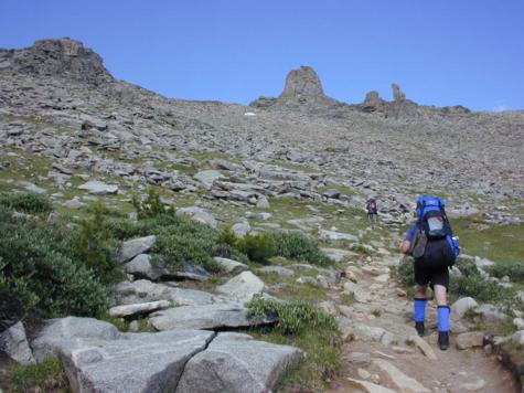
After hiking three miles we reach timberline. Rocky knobs similar to these gave the trail its name.
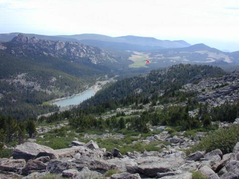
Looking back east to Dickinson Park trailhead (red-x) and Funnel Lake.
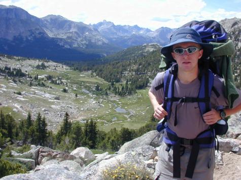
Lunch and rest break at 11,900 feet. The maximum elevation of Bears Ears trail. John seems upset he wasn't offered a ride.
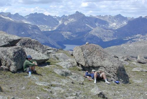
Yet to be traveled trails and fished lakes await below us as we sun ourselves in the 70 degree temperatures.
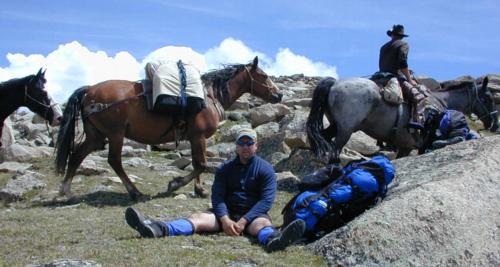
Sherpa Tim urges us onward and downward.
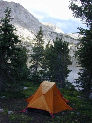
We find a great camp spot along the banks of Valentine Lake (10,400 ft).
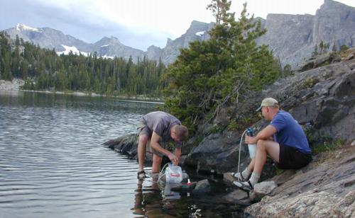
Pumping water at Valentine Lake for our supper: spaghetti and red sauce.
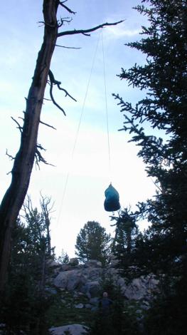
Hanging our food bags, this is bear country (black).
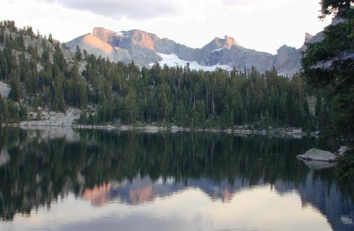
View from camp at sunset.